
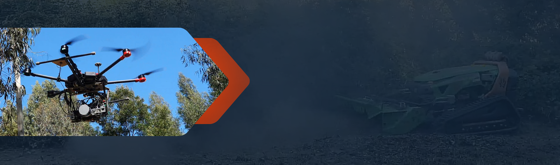
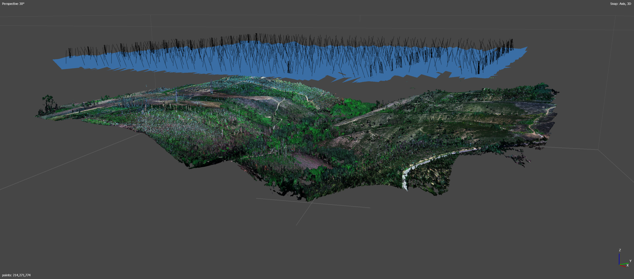
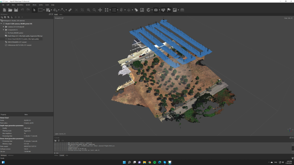

The ForestSphere project aims to produce a forest digital twin of a study area to support wildfire risk management strategies
The digital twin leverages accurate real-time data obtained from three complementary data layers: ground-level, airborne, and satellite.
The developed tool is intended to support Civil Protection Authorities in wildfire preparation, prevention, suppression, and post-event evaluation by providing an integrated and dynamic representation of forest environments.